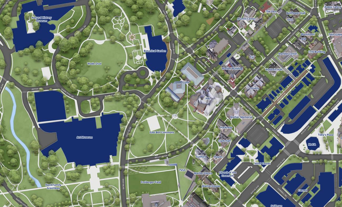
Case Western Reserve University rolled out an interactive campus map with turn-by-turn navigation capabilities between buildings.
The new tool enables students, faculty, and visitors to receive step-by-step directions across campus, reducing confusion about building locations and routes. The map marks a shift toward digital wayfinding solutions that many universities now employ to improve campus navigation experiences.
Case Western Reserve made the map accessible through a digital platform, though the source does not specify whether the tool is available through a mobile app, website, or both. The university did not provide details about additional features beyond directional guidance or information about the development timeline or cost.
Universities increasingly invest in interactive mapping technology as enrollment grows and campuses expand. These tools serve practical purposes for new students unfamiliar with campus layouts and reduce staff workload handling navigation questions. The move reflects broader adoption of digital infrastructure on college campuses.
Case Western Reserve did not announce plans to expand the map's functionality or integrate it with other campus services. The source provides no user feedback or adoption metrics following the launch.