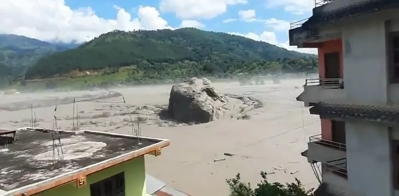
# Satellite Images Reveal Scope of Nepal's Glacier-Triggered Flood Disaster
A collapsed glacier in Nepal's mountainous terrain triggered a catastrophic flood that spread destruction across a radius exceeding 100 kilometers, satellite imagery now reveals. The disaster killed dozens of people and damaged infrastructure across multiple districts, demonstrating how climate-related environmental shifts in South Asia pose growing risks to downstream communities.
The flooding originated when a glacier in the Himalayas failed, releasing massive volumes of water and glacial debris into river valleys below. Satellite images tracked the flood's progression as it traveled downstream, destroying bridges, roads, and hydroelectric facilities far from the initial collapse point. The reach of the disaster extended well beyond the immediate glacier zone, affecting villages and towns located scores of kilometers away.
Nepal faces mounting vulnerability to glacier-related hazards. The country sits in a seismic zone and contains some of the world's highest elevations, where glaciers are shrinking due to warming temperatures. These glaciers feed major river systems that support agriculture, power generation, and drinking water supplies for millions across Nepal and downstream in India and Bangladesh. When glaciers destabilize or collapse, the resulting floods carry enormous destructive force.
The satellite data provides critical evidence for understanding disaster progression. Images captured before and after the event show erosion patterns, the extent of debris fields, and areas where water levels rose significantly. Researchers and disaster management officials used these images to map damage, identify affected communities, and plan rescue and recovery operations. The visual record also helps scientists understand how future glacier failures might unfold.
Climate scientists link Nepal's glacier hazards to broader warming trends. The Intergovernmental Panel on Climate Change documents that high-altitude glaciers across Asia are retreating faster than historical averages. As glaciers shrink, they become more unstable. The Nepal flooding exemplifies a pattern repeating across the Hindu Kush and Tibetan plateau regions, where glacial lakes grow larger and glacier collapses threaten populated areas below.
The disaster raises urgent questions about early warning systems and adaptation infrastructure. Nepal's Ministry of Disaster Management and its network of meteorological stations face challenges in predicting glacier failures with sufficient lead time. Many villages downstream lack evacuation plans or warning sirens. Hydroelectric dams designed decades ago may not withstand flows from glacial outburst floods.
International climate finance mechanisms and development partnerships increasingly focus on adapting South Asian infrastructure to these new hazards. Nepal has begun installing seismic and hydrological monitoring stations near vulnerable glaciers. The government also works on contingency plans for dam safety and community relocations in high-risk zones.
The satellite imagery confirms that glacier-related disasters transcend national borders and local geography. A collapse in one valley generates consequences 100 kilometers downstream, affecting farming communities, urban centers, and critical infrastructure. As glaciers continue shrinking under warming conditions, such events may occur more frequently, making adaptation and early warning investments essential for protecting Nepal's population.