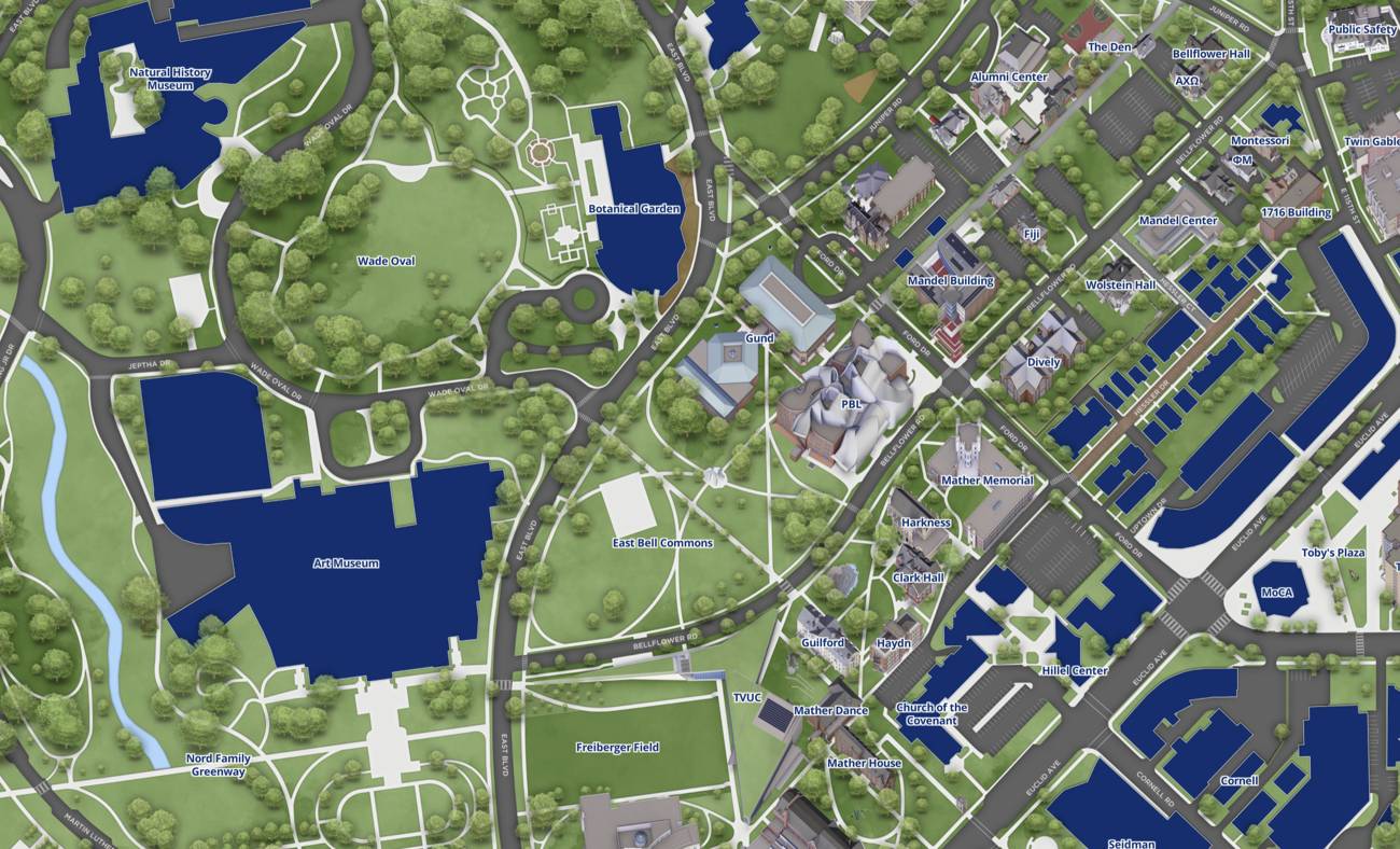
Case Western Reserve University has launched an interactive campus map that offers turn-by-turn navigation between buildings on its Cleveland campus. The tool represents a shift toward digital wayfinding solutions at the university.
The map allows students, faculty, and visitors to input a starting location and destination, then receive detailed directions similar to GPS navigation on smartphones. Features include real-time routing, building information, and likely accessibility details for users with mobility needs.
Universities have increasingly adopted digital mapping tools over the past five years as enrollment grows and campuses expand. Interactive maps reduce orientation challenges for new students and improve campus operations. At large institutions especially, physical printed maps become outdated quickly and fail to guide users through complex building layouts.
Case Western Reserve enrolls roughly 11,000 students across its Cleveland campus in Ohio. The new map addresses a practical pain point for the university community. New students, particularly those attending their first semester, often struggle to navigate between widely dispersed academic buildings, residence halls, and service centers. Faculty and staff also benefit from accurate routing when meetings take them across unfamiliar sections of campus.
The launch reflects broader edtech trends toward mobile-first solutions. Universities from Indiana University to the University of Michigan have deployed similar interactive mapping systems in recent years. These tools typically integrate with campus mobile apps or exist as standalone web platforms accessible from any device.
Beyond basic navigation, institutional maps increasingly serve as data collection points. Universities can track which routes students frequently use, identify accessibility barriers, and understand traffic patterns across campus. This information informs future infrastructure decisions and campus planning efforts.
Case Western Reserve joins a growing list of institutions recognizing that digital wayfinding improves student experience while providing administrators with valuable campus usage analytics. The map's launch suggests the university prioritizes accessibility and student support during what remains a critical onboarding period for new community members.