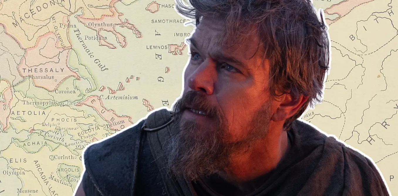
# Mapping Odysseus's Journey: Ancient and Modern Attempts to Locate Homer's Epic
Scholars have spent centuries trying to pinpoint the real-world locations Homer described in The Odyssey, with limited success. The ancient Greek epic recounts Odysseus's ten-year journey home after the Trojan War, naming specific islands and landmarks. Yet translating those names to modern geography remains contentious among researchers.
Ancient geographers themselves disagreed on the route. Strabo and Eratosthenes proposed different itineraries based on Greek knowledge of the Mediterranean. Modern scholars face an additional challenge: Homer may have blended real places with fictional ones, or deliberately obscured locations to enhance the narrative's mythic quality.
The core problem lies in identification. When Homer mentions "Ithaca," modern researchers assume he meant the Greek island bearing that name today. But ancient Ithaca may have referred to a different location entirely, or the name shifted over centuries. Similarly, islands like Ogygia, where Calypso holds Odysseus captive, appear nowhere in historical records, suggesting complete invention.
Linguistic analysis offers some clues. The names of Odysseus's stops contain Greek etymological roots tied to their characteristics in the story. Lotophagi, the lotus-eaters, derives from "lotus." Cyclops island connects to volcanic imagery. These connections suggest Homer constructed names based on narrative logic rather than geographic precision.
Archaeological expeditions have uncovered Bronze Age settlements matching some Homeric descriptions, lending credibility to the underlying geography. Yet no definitive evidence places Odysseus himself anywhere. The Odyssey likely draws from real travel routes sailors took throughout the Mediterranean, mixed with fantastical embellishments that defy cartographic verification.
Educational value remains regardless. Mapping The Odyssey teaches students how ancient texts encode cultural knowledge, how language and